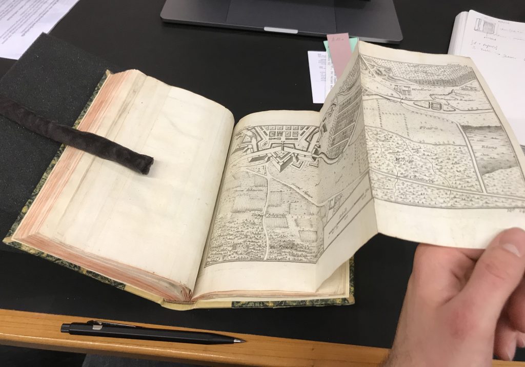
My book is basically published as a manual for surveying, cartography, architectural drawing, fortification, etc. It deals both with civil and military architecture and also is a guide for drawing maps of provinces and kingdoms.
The book is made out of 3 parts. The first part is subdivided into of 6 sections, and can be summarised as a guideline for selecting and preparing right materials such as glue or paint before starting to work on an architectural illustration. The second part is made out of 15 sections, in which how the process of creating an architectural illustration of different types of buildings and spaces ( squares, palaces, civil and military buildings) are described. The third part consists of 18 sections and deals with illustrating plans or military maps, as well as the maintenance of a finished map aftermath.
The book measures 130mm x 250mm x 30mm , which makes it a Crown Octavo (O) according to the traditional standard format. The book counts 213 Pages with additional 24 illustrations in the end with foldable pages. There are some torn out pages in the end, but it does not affect the total page count.
