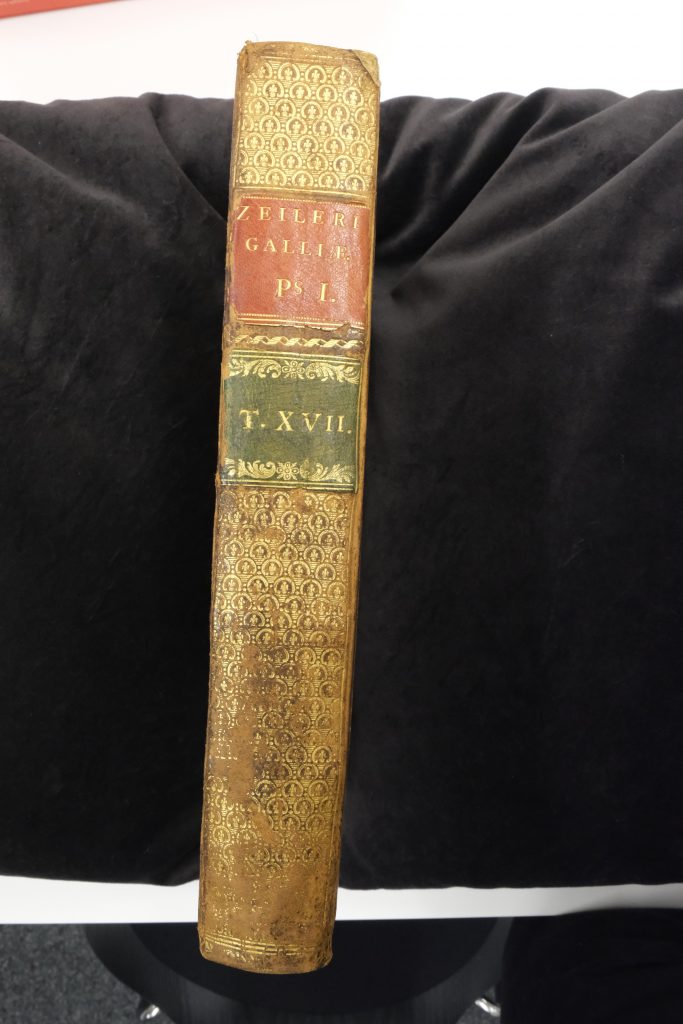
General subject of the book: The book „Topographia Galliae“ („Beschreibung des Königreichs Frankreichs“) is an old German-languaged series of illustrated books created by engraver Matthäus Merian written by Martin Zeiler and published in Frankfurt in the year 1655. It describes France in 17th-century and includes numerous detailed engravings and maps of the various cities, towns, and notable buildings in the region.
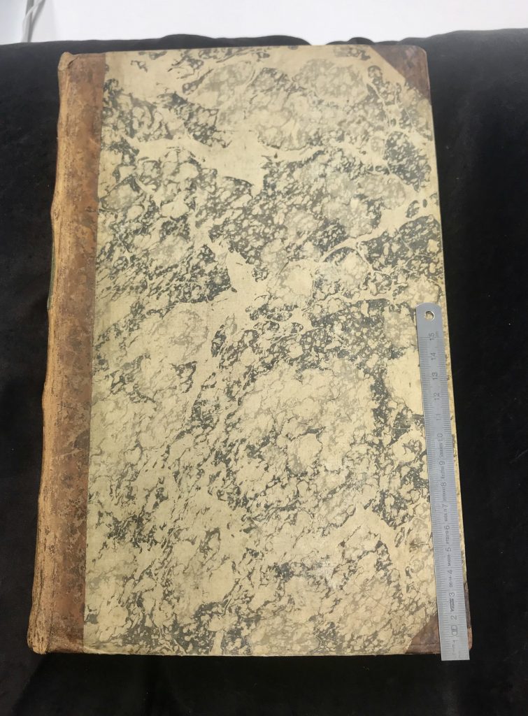
Organization of the book: The book begins with a description of the kingdom of France, the focus on Paris. It is followed by several maps and drawings of important buildings. Some fit on one page and some are bigger than the book itself. The large maps can be folded open. They are very detailed and often depict birds-eye or panoramic views of cities and notable estates throughout France. The cover is made out of thick carton that is covered in brown leather and decorated with copper
Size of the book:
The book measures 320mm x 200mm x 50mm. This corresponds to fold symbol fo°, Folio, Size F
Total number of pages, illustrations and maps:
The book counts 253 pages, 110 Illustrations and 7 folding maps.