![](https://friendswithanoldbook.delbeke.arch.ethz.ch/wp-content/uploads/2020/11/Screenshot-2020-11-18-at-19.43.49-2000x1621.png)
![](https://friendswithanoldbook.delbeke.arch.ethz.ch/wp-content/uploads/2020/11/Screenshot-2020-11-18-at-19.43.56-2000x1621.png)
![](https://friendswithanoldbook.delbeke.arch.ethz.ch/wp-content/uploads/2020/11/Screenshot-2020-11-18-at-19.55.36.png)
![](https://friendswithanoldbook.delbeke.arch.ethz.ch/wp-content/uploads/2020/11/Screenshot-2020-11-18-at-19.55.25.png)
The first page is blank and has some foldings which make us realize that the map can be folded to assume the size of the other pages of the book and fit in.
![](https://friendswithanoldbook.delbeke.arch.ethz.ch/wp-content/uploads/2020/11/Screenshot-2020-11-18-at-19.57.25-2000x1531.png)
![](https://friendswithanoldbook.delbeke.arch.ethz.ch/wp-content/uploads/2020/11/Screenshot-2020-11-18-at-20.14.45-2000x1531.png)
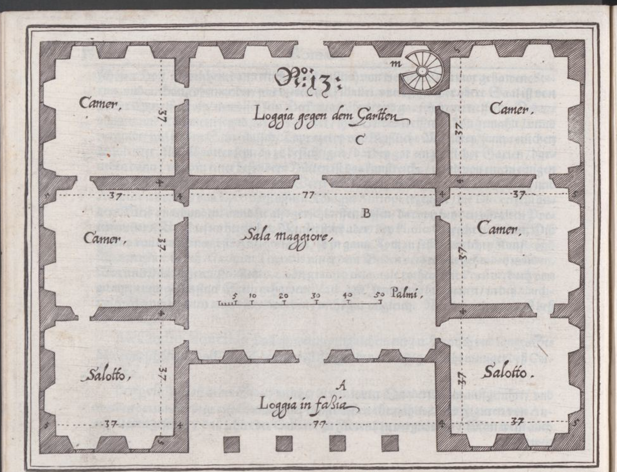
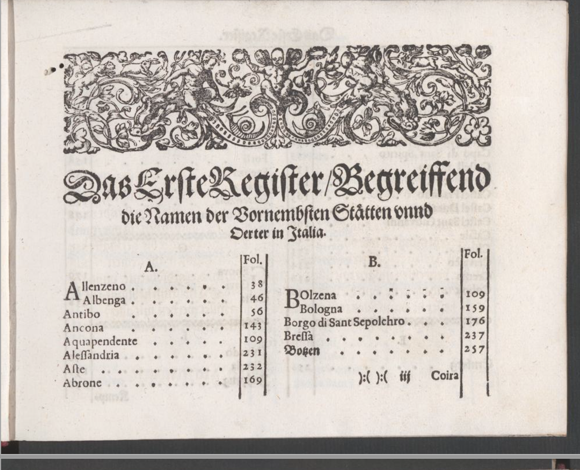
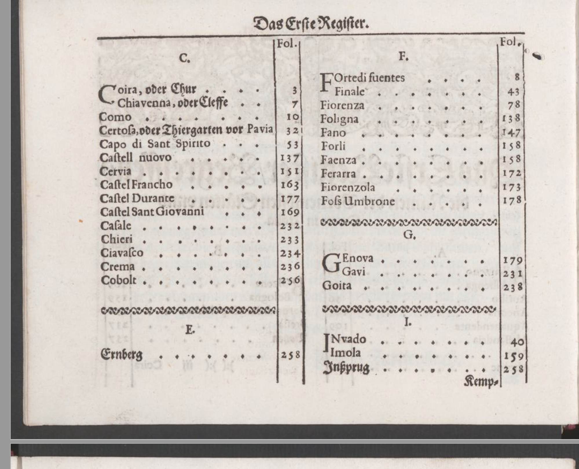
On the second page we see the text attached to the drawing. Probably the plan is described in detail on this and following pages. We also note that above the text there is a line and above it there is the name of the city in which the building is located. On the right side of the text we sometimes see comments which indicate some kind of references and numbers. Through the text there are lines which probably could be comma-point symbols (;).